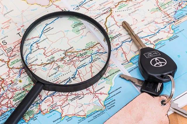
Our system uses a lot of GPS coordinates for mapping purposes. Such coordinates simply indicate a single point on the Earth. But where you place a marker on a map corresponding to that point varies and sometimes is just a matter of opinion.
So where do you place the map point for a city such as Paris? Do you use the Eiffel Tower or some other location? Or in a small town, do you use the location for a major intersection or the city hall?
For a lake, do you place the map point in the middle of the lake or perhaps at some access point?
There are no set rules for placing these points on a map. Most mapping locations are derived from many public sources, guesswork, customary sites, and from user suggestions.
So keep in mind that GPS coordinates are to only be used as guidelines -- sort of like a compass which hopefully points you in the right direction.
99.9% of these coordinates come from public aggregation lists. If you find a location specified on a map that you believe is either wrong or that you can supply a better point, let us know. GPS coordinates are constantly being adapted and updated. Your feedback in the comment area of any listing will help us to improve these listings.
DISTANCES
Note that when calculating distances between two GPS coordinates such as a restaurant near a hotel at which you might be staying, the distance is based on a straight line. We call that a "Radius Search."
In a city, you would likely need to take in consideration that you might walk one block east and one block south instead of directly southeast.
You can also get a better idea for the distance required to get to a location by using the "Driving Directions" or "Walking Directions" features to see how far a place might be from your current location.
Keep in mind that you may not be able to travel in a straight line due to intervening geography such as a mountain range or even an ocean.
ELEVATIONS
Like GPS coordinates, the elevations used on this website come from various public sources. And, where you measure that point will be subjective. Often, for a town, the elevation might be a single point from the downtown.
For a seaside port city, where do you mark the elevation? Obviously, you could say that every seaside city has an elevation of "zero" since it is at sea level. But that is not very useful. So you would likely want to know an inland point such as the downtown. Again, everything is subjective.
For a mountain, we try to find the elevation of the mountain peak. If driving through a range a mountains, the point selected might represent a point on the road which would be most useful.
Just keep in mind that all of these markers are for an ABITRARY SINGLE POINT on earth and are completely SUBJECTIVE. If you need precision (such as an airport's coordinates and elevation) please consult a more precise authority.
EUROPE-ASIA SUPER CONTINENT
Because the Euro-Asian landmass is actually a single body of land, there are no agreed upon definitive dividing points where one can say that this part is Europe and this part is Asia. For simplicity, we tend to place entire countries on either one or the other "continent". However, since Russia stretches all the way from the Atlantic Ocean to the Pacific Ocean, we will use the method indicated below.
Traditionallly, many Russians use the Ural Mountains, which general run north and south, as the dividing point between Europe and Asia within Russia.
Since using a mountain chain is rather imprecise, we will use 60 degrees (east) longitude in the Urals (taken from Wikipedia) and use that longitude as the Euro-Asia dividing point for Russia. So, for Russia only, every place to the east of that point and extending to the most eastern point of the Asian landmass, Cape Dezhnev at -169.652 (west) longitude, will herein be considered part of Asia.
There are some offshore islands to the east of Cape Dezhnev and to the west of North America. Those Russian islands will separately be included in the area defined as Asia.