Welcome!
Estes Park, Colorado: Highest Mountains, Peaks, and Terrain
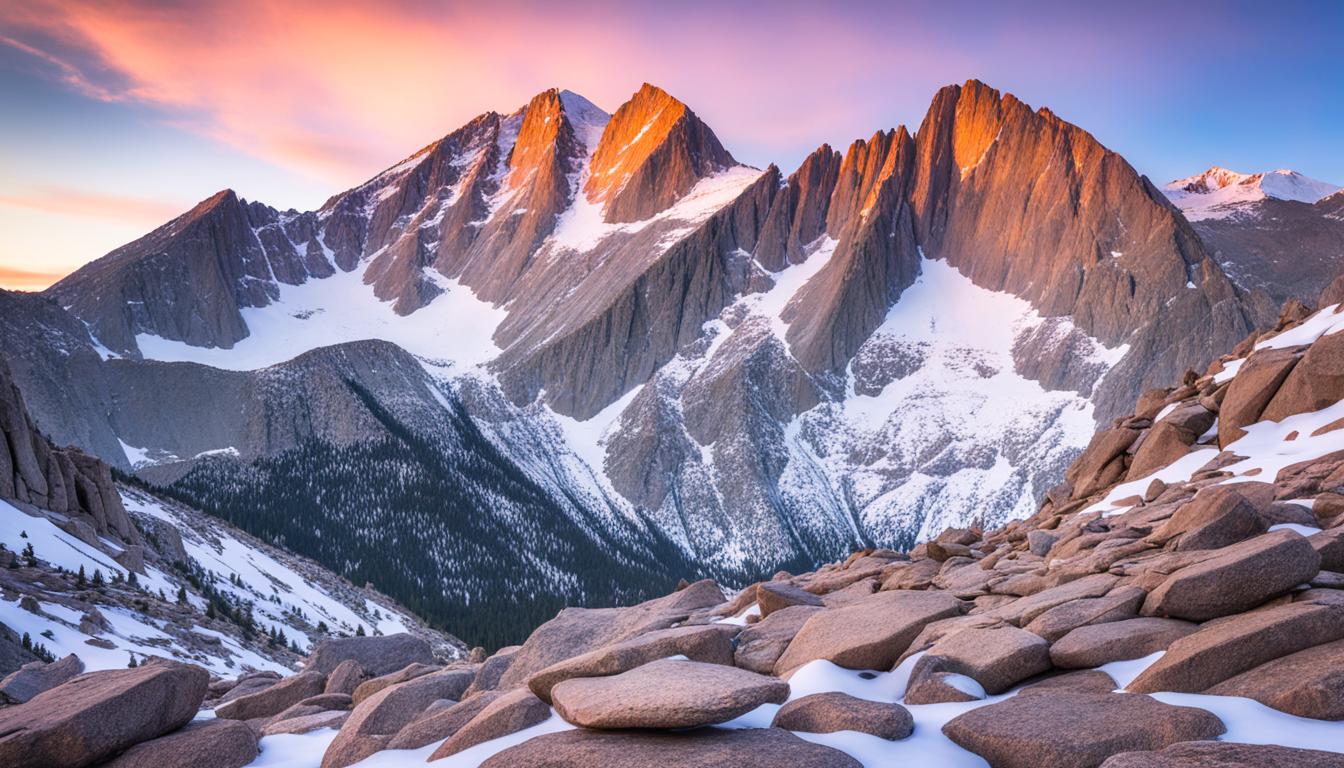
Ever dreamed of standing on a high mountain peak, looking out at a vast landscape? If yes, then Estes Park, Colorado, is your perfect adventure spot. This charming town sits at 7,522 feet and opens the door to the stunning Rocky Mountain National Park. Here, you'll find some of the highest peaks and varied terrain around.
Estes Park is home to Longs Peak, the park's only "fourteener" (a peak over 14,000 feet). It also boasts Trail Ridge Road, the highest paved road in Colorado. This place is perfect for anyone who loves hiking, nature, or just amazing views. It's a town that will capture your heart and leave you with unforgettable memories.
Key Takeaways
- Estes Park, Colorado is a picturesque mountain town situated at an elevation of 7,522 feet, just outside Rocky Mountain National Park.
- The region is renowned for its awe-inspiring high-altitude landscapes, towering peaks, and diverse outdoor recreation opportunities.
- Longs Peak, the only fourteener (peak over 14,000 feet) in the park, is the iconic landmark of Estes Park.
- Trail Ridge Road, the highest continuous paved road in Colorado, offers breathtaking views of the Rocky Mountains.
- The variety of mountains and peaks in Estes Park provides numerous hiking opportunities for outdoor enthusiasts.
Introduction to Estes Park and Rocky Mountain National Park
Estes Park, Colorado, is right at the edge of the stunning Rocky Mountain National Park. It's a charming town that welcomes visitors to one of the highest national parks in the U.S. The park is over 415 square miles big, with more than 60 mountains over 12,000 feet high.
Geographical Location and Setting
Estes Park sits at 7,522 feet above sea level. It offers a perfect spot to see the rugged Rockies. Being close to the park's high peaks and alpine areas, it's a favorite for those who love the outdoors.
Estes Park's Proximity to Rocky Mountain National Park
Rocky Mountain National Park, which goes around Estes Park, is home to over 60 types of wildlife. It has more than 300 miles of trails for hiking. These trails range from easy scenic walks to tough climbs up high.
The park's highlight is Longs Peak, towering at 14,259 feet. It attracts climbers from all over the world.
| Key Facts | Statistics |
|---|---|
| Area of Rocky Mountain National Park | 415 sq. miles (1,075 sq. km) |
| Mountains Higher than 12,000 feet | Over 60 |
| Elevation of Longs Peak | 14,259 feet (4,346m) |
| Designated Wilderness Area | 94% |
| Hiking Trails | Over 350 miles (560km) |
Longs Peak: The Iconic Fourteener
Longs Peak is the highest point in Colorado's Rocky Mountain National Park, reaching 14,259 feet. It's the northernmost fourteener in the state. Rising over 9,000 feet above the Great Plains, it's a top spot for climbers.
Longs Peak's Elevation and Prominence
Longs Peak stands at 14,259 feet and has a prominence of 2,940 feet. It's the 42nd highest peak in North America and the 28th in the U.S. It's also the 13th highest in Colorado and the 15th among Colorado's fourteener peaks.
Historical Significance and Naming
Named after explorer Stephen Harriman Long, the mountain was first spotted in 1820. The first climb was in 1868 by John Wesley Powell and his team.
Climbing Routes and Adventures
Longs Peak is a favorite for climbers, with the Keyhole Route being a top choice. It's a non-technical route but quite challenging. For those seeking more, technical routes like the Diamond on the east face are available. The hike from the trailhead to the summit and back is about 12.5 miles, taking around 13 hours.

"Longs Peak, the centerpiece of Rocky Mountain National Park, stands at 14,256 feet and offers a challenging climb with vertical rock faces, narrow ledges, and loose rock."
Trail Ridge Road: Highest Continuous Paved Road
In the Rocky Mountain National Park, Trail Ridge Road is the highest paved road. It reaches 12,183 feet high. This road lets visitors see the park's high places without hard hiking.
The road stretches 48 miles (77 km) and opened in 1989. At its highest, near Fall River Pass, it crosses the Continental Divide. It shows off amazing views and wildlife, with different plants and animals along the way.
Before, there was Fall River Road from 1921. Work on Trail Ridge Road started in 1929 and finished in 1938. About 150 people worked on it at a time.
| Statistic | Value |
|---|---|
| Highest Elevation | 12,183 feet (3,713 m) |
| Average Daily Maximum Temperature (July) | 61.5°F (16.4°C) |
| Average Daily Minimum Temperature (January) | 4.3°F (-15.4°C) |
| Average Precipitation (April) | 4.88 inches (124 mm) |
Now, Trail Ridge Road is a big draw, needing timed entry in busy times. It's an All-American Road since 1996 and one of Colorado's 13 National Scenic Byways. This shows how special it is for visitors.
If you want to see amazing views, drive high, or enjoy Colorado's beauty, Trail Ridge Road is perfect. It's a key spot in Rocky Mountain National Park.
Alpine Tundra: Unique High-Altitude Ecosystem
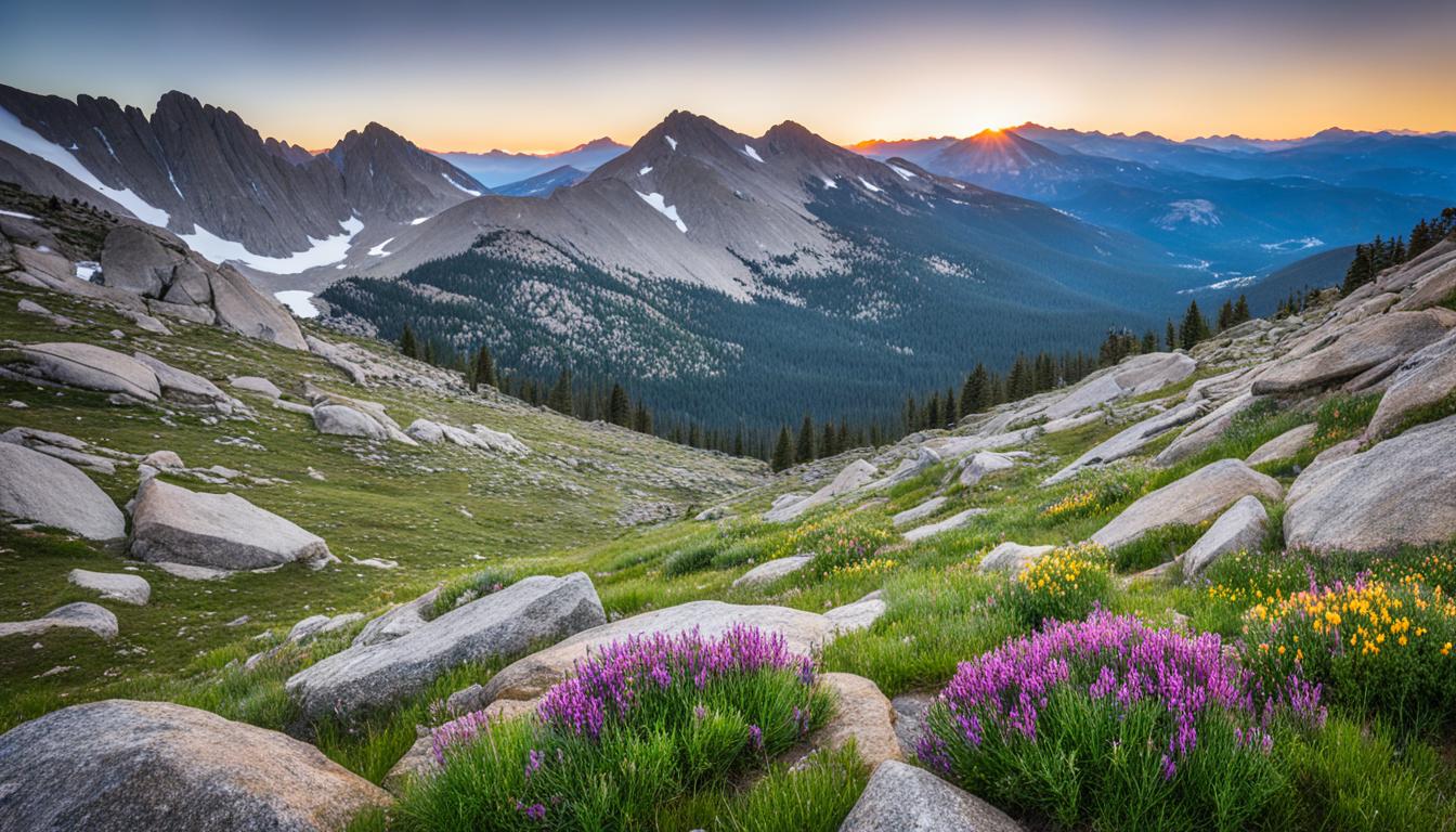
In Rocky Mountain National Park, the Alpine Tundra is a special high-altitude ecosystem. It covers about one-third of the park and is treeless. Here, hardy plants and animals live in a tough environment above the tree line.
Flora and Fauna of the Alpine Tundra
The Alpine Tundra is a delicate place where survival is hard. It has little vegetation, like cushion plants, alpine wildflowers, and dwarf shrubs. These plants have grown to survive the strong winds, cold, and limited food at high elevations.
Animals like bighorn sheep, pikas, and marmots live here. They have thick fur and can hibernate for up to 200 days. These adaptations help them survive the harsh winters.
- Approximately one-third of Rocky Mountain National Park is above the tree growth limit.
- The Alpine Tundra Ecosystem starts between elevations of 11,000 to 11,500 feet, dependent on exposure.
- Many alpine plants are perennials, with dwarfed sizes due to strong winds and cold temperatures.
- Lichens in the tundra can photosynthesize at temperatures above 32 degrees Fahrenheit.
- Recovery of tundra plants from damage caused by repeated footsteps may take hundreds of years.
The Alpine Tundra is a delicate and resilient ecosystem. It shows how plants and animals adapt to high-altitude living. Visitors to Rocky Mountain National Park should be careful and respect this fragile natural wonder.

Estes Park, Colorado: Highest Mountains, Peaks, and Terrain
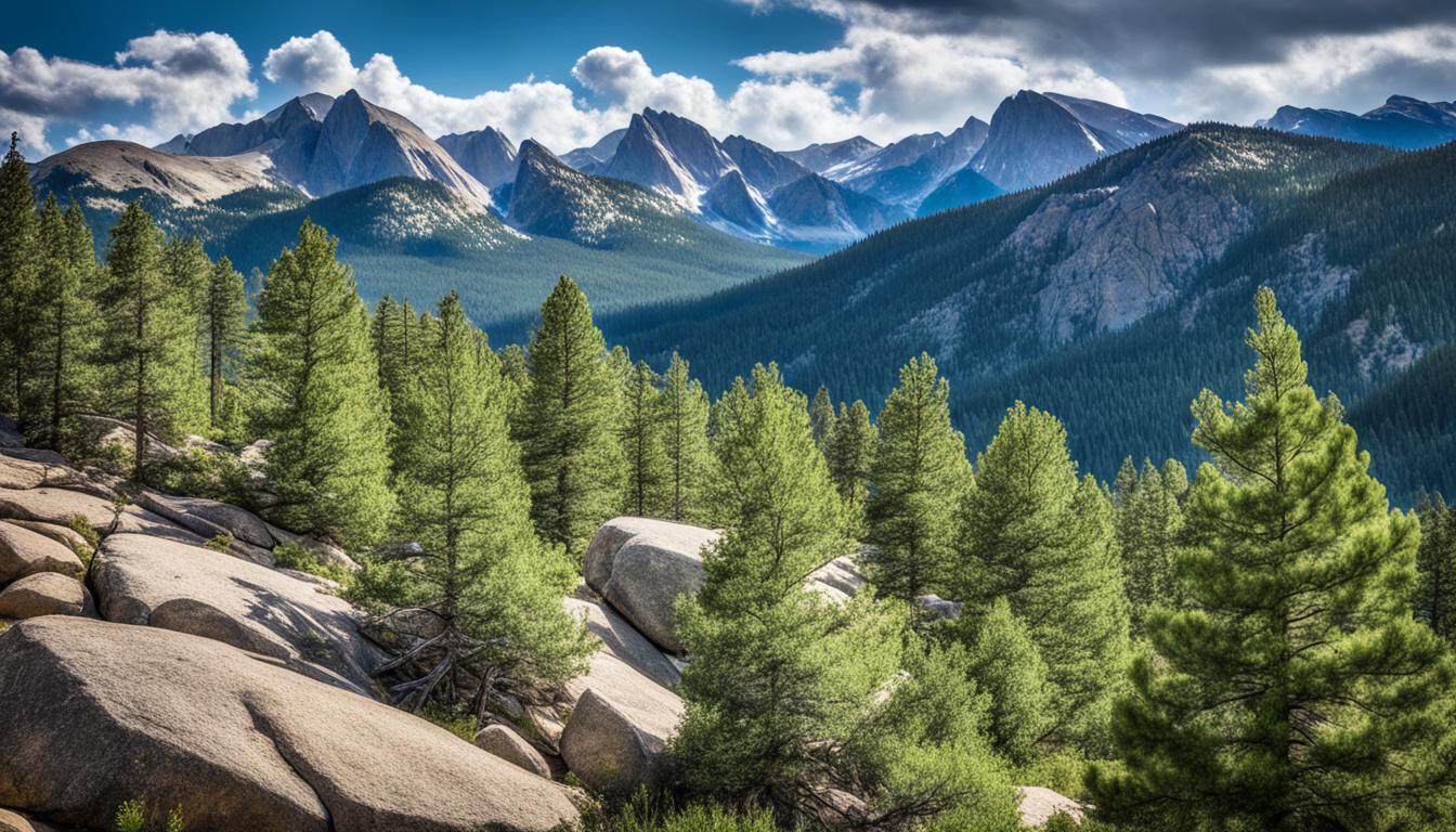
Estes Park, Colorado, is in the heart of the Rocky Mountains. It's famous for its stunning high-altitude views. Longs Peak is just the start of the amazing mountains, peaks, and geological wonders that draw people in.
The Rocky Mountain National Park includes Estes Park and spans 415.38 square miles (1,075.83 square kilometers) of tough terrain. Here, you'll find 124 named peaks that are 8,789 feet (2,681 meters) or higher. There are also 98 peaks over 11,000 feet (3,353 meters) and 20 peaks above 13,000 feet (3,962 meters).
Trail Ridge Road is a key feature, being the highest paved road in North America. It reaches 12,183 feet (3,713 meters) high. This road offers stunning views of the high-altitude landscapes, lakes, and wildlife.
| Statistic | Value |
|---|---|
| Park Gross Acres | 265,847.74 acres (107,584.76 hectares) |
| Designated Wilderness | 252,123 acres (94.8% of the park) |
| Tundra Acres | 89,099 acres (36,057 hectares) |
| Highest Elevation | Longs Peak at 14,259 feet (4,346 meters) |
| Annual Precipitation | Estes Park: 16.8 inches (42.7 cm), Grand Lake: 19.9 inches (50.6 cm) |
Estes Park and the Rocky Mountain National Park offer many outdoor activities. You can hike, drive through scenic routes, or watch wildlife. It's perfect for those who love the outdoors and want to see the highest peaks and alpine landscapes.
Other Notable Peaks and Summits
Longs Peak is the star of the Estes Park region, but there are many other peaks and summits to explore. You'll find the towering Mount Meeker and the twin Twin Peaks among them. These mountains offer endless adventure and discovery.
Mount Meeker and the Twin Peaks
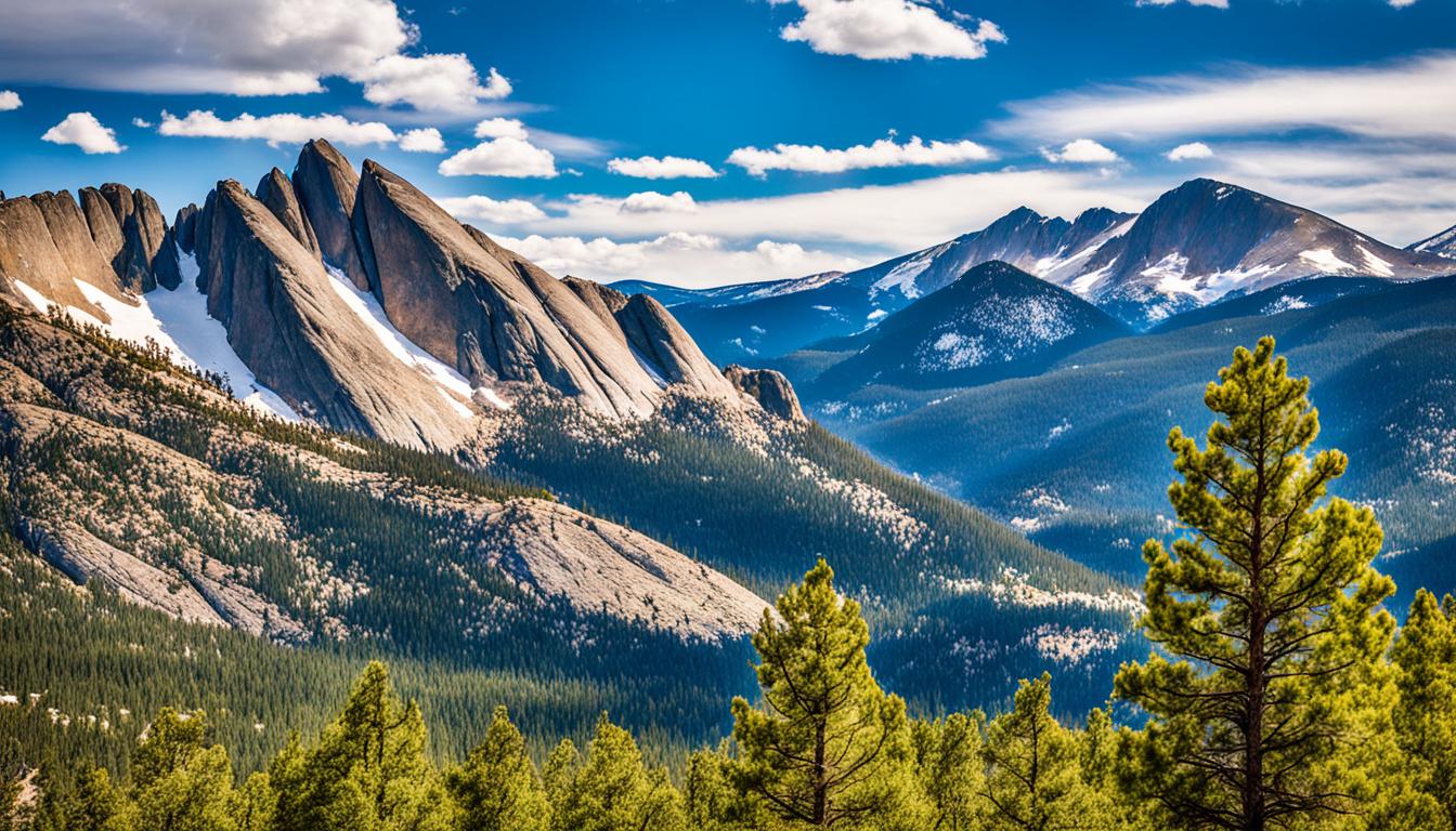
Mount Meeker, at 13,911 feet, is the second-highest peak in the area. It's often seen with Longs Peak as the "Twin Peaks" from certain spots. The Arapaho tribe called Meeker and Longs the "Two Guides."
The Twin Peaks are a sight to behold. Their dramatic profiles and snow-capped tops stand out against the Rocky Mountains. They make a lasting impression whether you're looking at them from afar or climbing them.

Estes Park has many other impressive Peaks and Summits. You'll find the snow-covered Snowdrift Peak and the towering Desolation Peaks. It's a paradise for outdoor lovers and adventurers.
"The mountains are calling, and I must go." - John Muir
Whether you're an experienced hiker or new to the trails, Estes Park's Peaks and Summits are unforgettable. So, get your gear ready and explore the natural wonders of this amazing place in Colorado.
Hiking Trails and Outdoor Adventures
Estes Park and Rocky Mountain National Park are famous for their many hiking trails. These trails let visitors see the area's beautiful landscapes and reach high peaks. With over 300 miles of trails in the national park, plus more in the national forest and Hermit Park, there's plenty for outdoor lovers.
Popular Hiking Routes and Trailheads
Top hiking trails include the Longs Peak Trail, the Keyhole Route, and the Chasm Lake Trail. These trails suit hikers of all levels. The Lily Mountain Trailhead and the Crosier Mountain trailheads near Glen Haven make it easy to start your adventure.
Safety Precautions for High-Altitude Hiking
- Getting used to the high altitude is key for a safe hike.
- Drink plenty of water and bring the right gear, like warm clothes and good shoes, to tackle high-altitude hikes.
- Be ready for the weather to change fast, as mountains can be unpredictable.
For a guided hike, Estes Park has many options like guided hikes, fishing trips, and climbing tours. These tours teach you how to navigate, climb, and stay safe, making your hike better.
Estes Park and Rocky Mountain National Park have lots of Hiking Trails and Outdoor Adventures for everyone. Whether you're experienced or new to hiking, there's something for you.
| Trail | Distance | Elevation Gain | Average Time |
|---|---|---|---|
| Lost Lake | 9.96 miles one-way | N/A | 11 hours round trip |
| St Vrain Glaciers | N/A | 2,600 feet | 18 hours round trip |
Mountain Scenery and Vistas
Estes Park is in the Rocky Mountains' heart, famous for its stunning mountain views and wide vistas. It has many viewpoints and overlooks for visitors to enjoy the breathtaking landscapes.
Best Viewpoints and Overlooks
The top of Trail Ridge Road is a top spot in Estes Park. It's the highest paved road in the U.S., at 12,183 feet high. From here, you can see the beautiful mountain scenery and vistas.
For a hike, try the Chasm Lake overlook. It shows a stunning view of a cirque and a glacial lake below Longs Peak, a famous fourteener in Rocky Mountain National Park.
There are many viewpoints and overlooks near trailheads. They let visitors dive into the high-altitude mountain scenery and alpine settings.
| Viewpoint or Overlook | Elevation | Highlights |
|---|---|---|
| Trail Ridge Road | 12,183 feet | Panoramic views of the Rocky Mountains |
| Chasm Lake Overlook | 11,823 feet | Dramatic view of Longs Peak and Chasm Lake |
| Lily Mountain Trail | 10,702 feet | Breathtaking vistas of the Estes Park valley |
| Estes Park Aerial Tramway | 8,700 feet | Panoramic views from the summit of Prospect Mountain |

Estes Park has many viewpoints and overlooks for all. Whether you like driving or hiking, you can enjoy the amazing mountain scenery and vistas.
Preparing for High Altitude
Estes Park and Rocky Mountain National Park are high-altitude places. They need special care for a safe and fun visit. Acclimatization is key to adjust to the lower oxygen levels. This helps prevent altitude sickness, which can start at 8,000 feet.
Acclimatization and Altitude Sickness
Estes Park is at 7,522 feet, and Rocky Mountain National Park goes up to 14,259 feet at Longs Peak. Know the signs of altitude sickness like headaches and nausea. To avoid these, take it easy and drink plenty of water for a few days.
To help your body adjust:
- Increase your water intake by several quarts a day
- Avoid alcohol and caffeine, which can hinder the adjustment process
- Monitor your hydration level by setting a timer or using a tracking app
- Ensure you're getting enough salt and electrolytes to maintain body balance
- Consider sleeping at lower elevations, such as in Estes Park or Denver, for better acclimatization
Remember to use sunscreen and sunglasses with UV protection. The high altitude means more risk from the sun.
By following these steps and letting your body adjust, you can have a safe and fun time in Estes Park and Rocky Mountain National Park.
Conclusion
Estes Park, Colorado, is a true gem in the Rocky Mountains. It offers visitors a unique high-altitude experience. You'll find iconic peaks like Longs Peak and the stunning Trail Ridge Road.
The area is perfect for outdoor lovers and nature fans. It has diverse alpine tundra and many hiking trails. This makes it a haven for those who love the outdoors.
Exploring Estes Park and Rocky Mountain National Park is like stepping into a world of beauty. You'll see amazing natural sights and learn about the challenges of visiting these high places. This way, you can enjoy the wildlife and views safely and fully.
Looking for adventure or a peaceful nature trip? Estes Park and Rocky Mountain National Park are ideal. They let you connect with the beauty of the high country. Plan your trip to explore these amazing mountains and make memories that will last a lifetime.
FAQ
What is the elevation of Estes Park, Colorado?
Estes Park, Colorado sits at an elevation of 7,522 feet.
How close is Estes Park to Rocky Mountain National Park?
Estes Park is right outside Rocky Mountain National Park. It's perfect for those wanting to see the park's high-altitude landscapes.
What is the highest point in Rocky Mountain National Park?
Longs Peak, at 14,259 feet, is the highest point in Rocky Mountain National Park. It's also the northernmost fourteener in Colorado.
What is the highest continuous paved road in Colorado?
Trail Ridge Road in Rocky Mountain National Park is Colorado's highest paved road. It reaches an elevation of 12,183 feet.
What is the alpine tundra ecosystem?
The alpine tundra is a unique ecosystem in Rocky Mountain National Park. It has sparse vegetation, hardy plants, and diverse wildlife. These species are adapted to the high peaks' challenging conditions.
What are some other notable peaks and summits in the Estes Park region?
Besides Longs Peak, the area has other impressive mountains. These include Mount Meeker and the Twin Peaks.
What are some popular hiking trails in Estes Park and Rocky Mountain National Park?
The area has many hiking trails. Some popular ones are the Longs Peak Trail, the Keyhole Route, and the Chasm Lake Trail.
What safety considerations are important when visiting the high-altitude environments of Estes Park and Rocky Mountain National Park?
It's important to acclimate properly and know the signs of altitude sickness. This ensures a safe and fun visit to these high places.
Where can I find the best viewpoints and overlooks in the Estes Park region?
You can find great views at places like the top of Trail Ridge Road, the Chasm Lake overlook, and many trailheads. These spots offer beautiful views of the park's high peaks and alpine environments.
Related Posts
By accepting you will be accessing a service provided by a third-party external to https://social.travel.com/